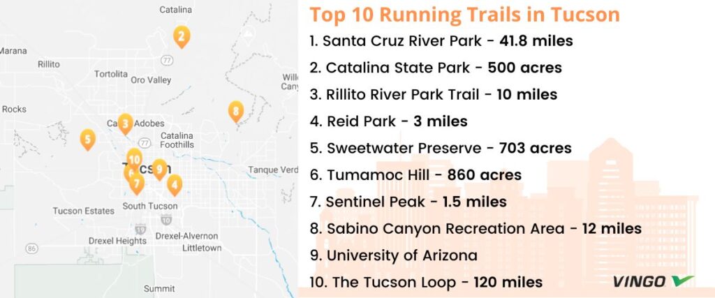
Top 10 Running Trails in Tucson
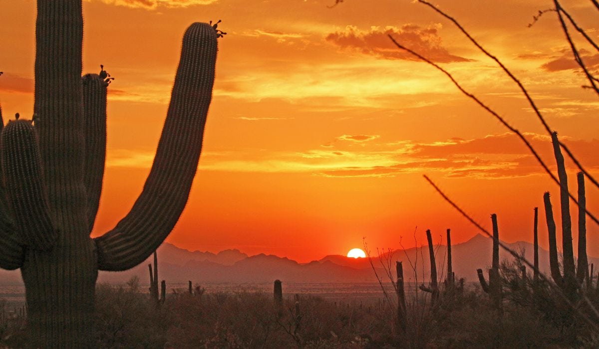
Tucson, Arizona, is well-known for its scenic running trails and a vibrant and friendly local running community. Whether you’re relocating or just visiting, the following spots are some of the best running trails in Tucson, offering some of the most stunning views and training opportunities.
1. Santa Cruz River Park
The Santa Cruz River Park follows the Santa Cruz River from Grand Road to 29th Street, with another section running from Irvington Road to Ajo Way. The entire route is paved and incorporates the Anza Trail, a historic route Juan Bautista de Anza used to establish the city of San Francisco, California. Overall, the trail offers 41.8 miles of well-established trail for runners to enjoy. It’s an excellent option for all ages and abilities and includes easy access to drinking water, bathrooms, exercise stations, and wildlife viewing areas along the way.
Tips: This trail is also one section of the massive 136-mile Chuck Huckelberry Loop, which wraps around Tucson.
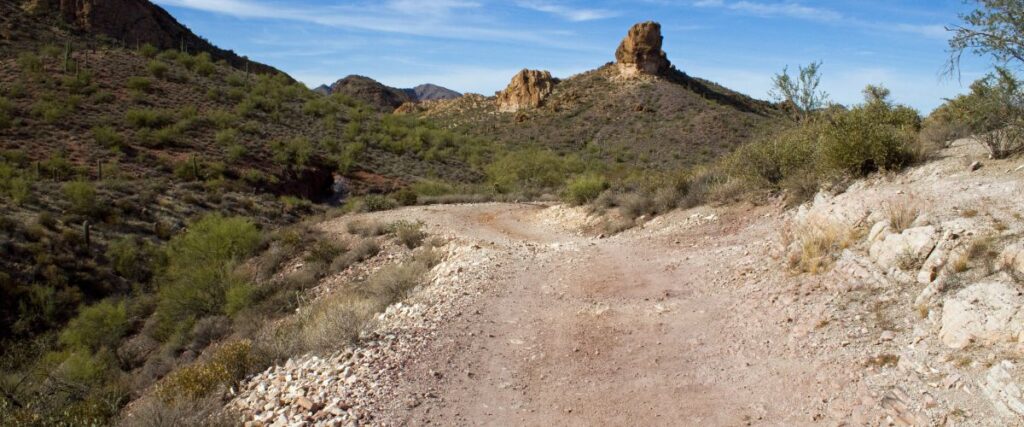
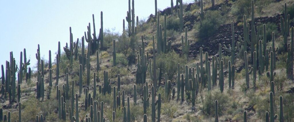
2. Catalina State Park
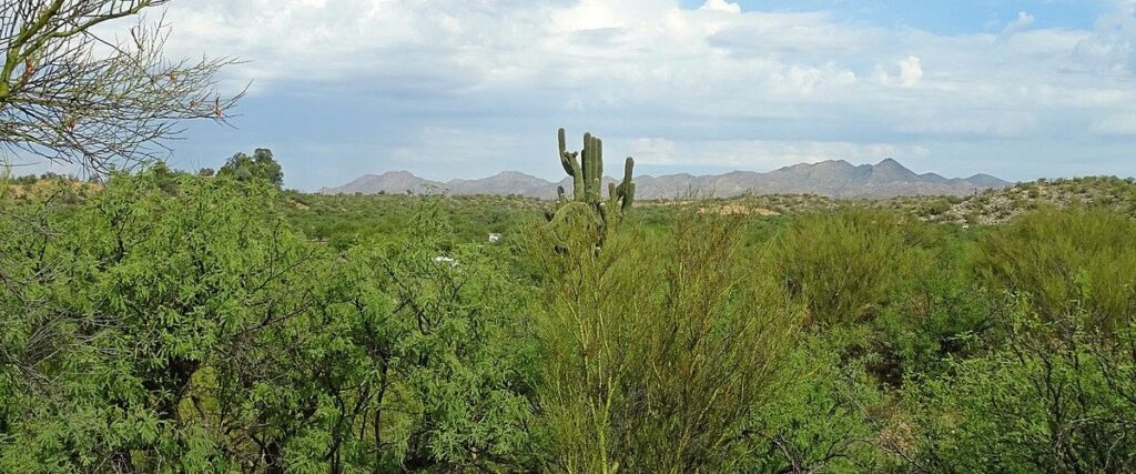
If you’re looking for a good trail-running experience without having to drive far from the city, you’ll love Catalina State Park. Situated at the base of the Catalina Mountains, this state park offers several trail options (flat and hilly) and has some good road running. It’s just a few minutes from the Tucson metropolitan area but features 5,500 acres of canyons, streams, foothills, and desert plants and wildlife. Here, you can run along the scenic trails that wind through the park and into the Coronado National Forest at elevations near 3,000 feet. You’re bound to enjoy the mountainous backdrop and desert landscape, featuring almost 5,000 saguaros along the way.
Tips: This park also has sunscreen stations and bathrooms for your convenience. Be prepared to pay the entrance fee: It’s $7 per vehicle or $3 if you walk or bike into the park.
3. Rillito River Park Trail
The Rillito River Park Trail is a 10-mile multi-use trail that follows the Rillito River. Located a few miles north of downtown Tucson, the path connects three city parks and passes the Tucson Mall about halfway through the route. An ideal city running route, this path is best to run in the early morning or sunset to avoid the hottest part of the day. However, there are water fountains at each intersection along the way. The trail also features several bridges, so you can easily cross from the north to the south bank. Visit one of the trail’s exercise stations for a quick cooldown routine after your run.
Tips: Although you can run the entire trail, the southern portion is dedicated to runners, walkers, and equestrians, and the northern part is paved to accommodate cyclists and rollerbladers.
4. Reid Park
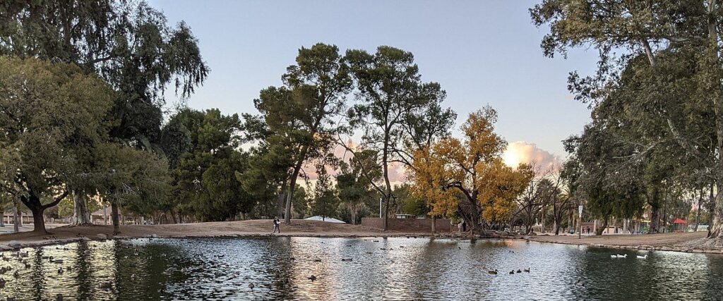
Reid Park is in downtown Tucson, near the University of Arizona. It’s home to the zoo, a dog park, a rose garden, a golf course, and tennis courts. There are several running route options, including the 3-mile David Bell Multi-Use path, a paved loop around the golf courses. Or, you can run along the Arroyo Chico Greenway, which has four segments along the park’s perimeter. If you want, you can also add a few extra miles by running along the paths in the inner portion of the park, too. If you’re looking for a simple running route, an 800-meter dirt track encircles the practice fields.
Tips: The loop around the golf course or the entire park is also well-lit and regularly patrolled, making it perfect for evening runs so you can avoid the daytime heat.
5. Sweetwater Preserve
The Sweetwater Preserve features 703 acres of preserved land near the Tucson Mountains, just west of the city. The Sweetwater Trailhead is at the southern end of Tortolita Road and is open from dawn to dusk. The natural surface trail is nice, and you can bring your pup along for the run too! Just make sure to keep them on a leash the entire time. The preserve has a varied desert terrain, featuring plenty of flat areas and rolling hills for different training styles. It’s also conveniently adjacent to Saguaro National Park’s Tucson Mountain District and Tucson Mountain Park.
Tips: This area is more rugged than some of the others on this list, so no facilities like bathrooms or water stations exist. Come prepared!
6. Tumamoc Hill
Tumamoc Hill is a volcanic hill located on the ancestral lands of the Sobaipuri and Tohono O’odham peoples and an 860-acre ecological reserve. The trail on the hill is open to runners from 4 a.m. to 10 p.m. and offers a 3-mile round-trip run from the base to the top and back again. There is about a 700-foot rise in elevation along the Tumamoc Hill route, but you can stick to the bottom road for a gentler grade; the upper road is steeper and has more switchbacks. Take advantage of the benches along the way if you need to rest. You’ll also find bathrooms and a water fountain midway along the trail.
Tips: Since this is a sensitive cultural and archeological area, visitors must stay on the paved road and overlook areas. Dogs are not allowed.
7. Sentinel Peak
Affectionately referred to as “A” Mountain, Sentinel Peak is conveniently within walking distance from downtown Tucson. It’s called “A” Mountain because University of Arizona students built a white-washed ” A ” stone on it in 1915. Today, this local running route is a hilly challenge featuring a climb of about 1.5 miles and 500 feet in elevation gain. Although there’s no sidewalk for runners, the shoulder is wide enough to run on with minimal traffic. Once you reach the top of the mountain at 2,900 feet, you’ll find a gazebo where you can rest and enjoy the views over the city.
Tips: For more distance, you can start your run 1 mile west in the downtown area or about 0.5 miles further at the University of Arizona.
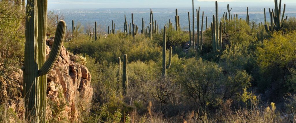
8. Sabino Canyon Recreation Area
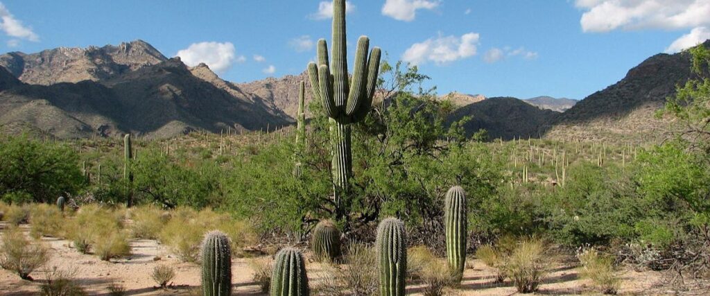
The Sabino Canyon Recreation Area is 12 miles north of Tucson in the Coronado National Forest. It’s one of the most popular running spots in the area for a reason! Here, you’ll find breathtaking views of majestic mountains, deep canyons, and a distinct desert landscape. Sabino Canyon has something for everyone, with road and trail running of varying intensity. One road-running option is a paved, 3.8-mile road that heads straight into the canyon and crosses nine stone bridges over Sabino Creek. Alternatively, you can explore the area’s more than 30 miles of trails. Restrooms and water fountains are also available, so you can stay hydrated and comfortable while running. The parking fee is $5 per car at the visitor’s center parking lot, but you can also get an annual pass for $20 if you frequent the area.
Tips: Unfortunately, pets are not allowed in Sabino Canyon, so you’ll have to leave your dog at home for this run.
9. University of Arizona
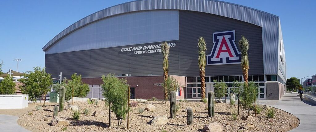
The University of Arizona is an excellent area for runners to explore on foot in downtown Tucson. The terrain on campus is mainly flat, and you can create your own loop route that features your favorite university landmarks. Options include running past the Arizona State Museum, Arizona Stadium, or the Flandrau Science Center and Planetarium. If you run from the east end of campus to the west end, the entire route is about 1.2 miles, but you can extend the distance by running through other downtown areas, too.
Tips: If you plan to run elsewhere in downtown Tucson, runners recommend sticking to E. 6th Street, 3rd Street/University, 4th Avenue/Fontana, Broadway, and Congress.
10. The Tucson Loop
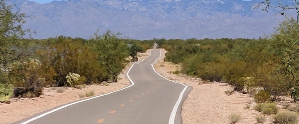
The Tucson Loop is an excellent running option that connects several multi-use paths in the area if you want to experience some of the best running routes in Tucson. The route includes more than 120 miles of paved pathways, with easy access to multiple trails, including the Rillito River Park Trail, Julian Wash, and Harrison Road Greenways, and the Santa Cruz and Pantano River Parks. There are bathrooms and water fountains all along The Tucson Loop, and you can hop on the route at many different points, but the most popular starting point is the Rillito River section off North First Avenue. This part of the route offers plenty of fun things to do after your run, including restaurants, parks, and shopping areas.
Tips: There are lots of walkers, runners, skaters, and cyclists on this path, so be prepared to navigate the traffic.
Interested in another city?
Discover the best cities to run in the US:
- Albuquerque
- Atlanta
- Austin
- Baltimore
- Boston
- Charlotte
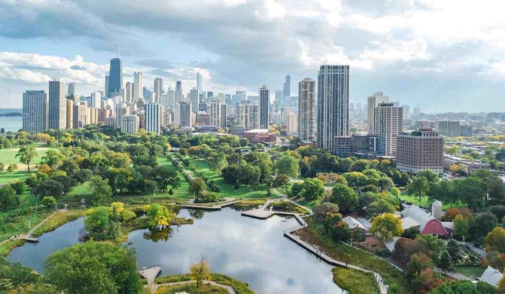
- Chicago
- Columbus
- Dallas
- Denver
- Detroit
- El Paso
- Fresno
- Fort Worth
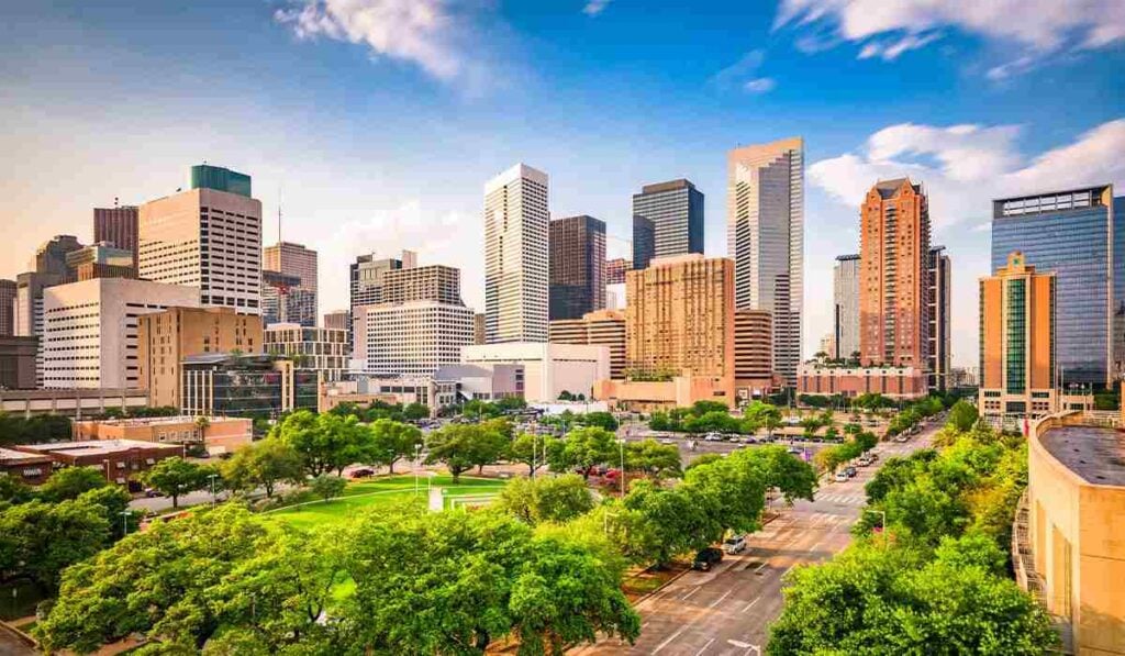
- Houston
- Indianapolis
- Jacksonville
- Las Vegas
- Los Angeles
- Louisville
- Memphis
- Milwaukee
- Nashville
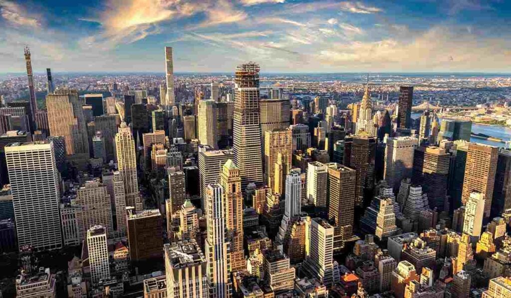
- New York City
- Oklahoma City
- Philadelphia
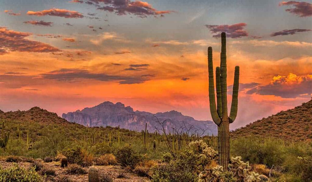
- Phoenix
- Portland
- San Antonio
- San Diego
- San Francisco
- San Jose
- Seattle
- Tucson
- Washington, D.C.
Photo Sources:
- Annette Teng, CC BY 3.0, via Wikimedia Commons
- Gatomasgordo, CC BY-SA 4.0, via Wikimedia Commons
- $1LENCE D00600D at English Wikipedia, CC BY-SA 3.0, via Wikimedia Commons
- Zereshk, Public domain, via Wikimedia Commons
- Jon Abbott, CC BY-SA 3.0, via Wikimedia Commons
- Michael Barera, CC BY-SA 4.0, via Wikimedia Commons
- Gatomasgordo, CC BY-SA 4.0, via Wikimedia Commons
Sources:
- https://www.railstotrails.org/trailblog/2021/april/12/arizona-s-santa-cruz-river-park-trail/
- https://azstateparks.com/catalina/
- https://www.visittucson.org/listing/rillito-river-park-trail/25441/
- https://www.tucsonaz.gov/parks/GeneCReidPark
- https://www.visittucson.org/listing/sweetwater-preserve/23241/
- https://tumamoc.arizona.edu/tumamoc-hill/walk-hill
- https://www.tucsonaz.gov/parks/SentinelPeakPark
- https://www.fs.usda.gov/recarea/coronado/recreation/recarea/?recid=75425
- https://greatruns.com/univ-of-arizona/
- https://tucsonloop.org/tucson-loop-starting-points/

.jpg)